

Climate change promises uncharted waters
for scientists studying vast bands of vapor in the sky›››
UN Water Conference


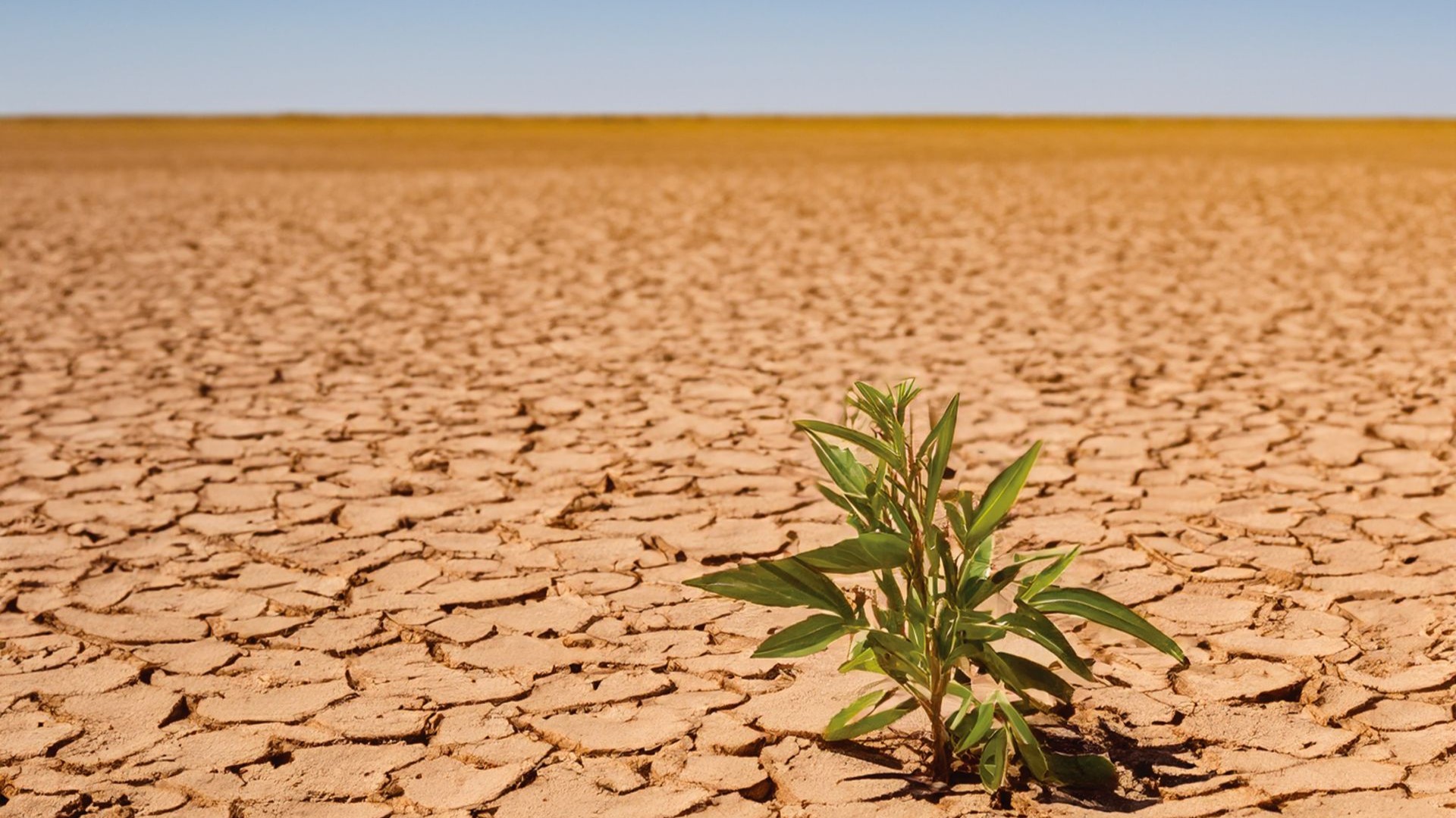
The UAE has a growing population but not much farmland – not a great recipe for food security. That’s why Maryam Al Shehhi studies soil composition, specifically soil water retention: how well the ground holds water.
Abu Dhabi’s sandy soil drains nearly as fast as the water can fall on it and definitely faster than roots can absorb.
Al Shehhi, an assistant professor of civil and environmental engineering at Khalifa University, and her team think the solution is organic carbon.
Her team, in a project funded by the UAE Space Agency, studies soil carbon-content levels on Abu Dhabi farms.
The soil’s carbon content indicates how much water it retains, a property known as soil water retention. The space agency’s satellites measure how the ground reflects light in a particular way, which indicates its contents. This is valuable data for an AI to estimate organic carbon levels.
 CAPTION: Maryam Al Shehhi IMAGE: Khalifa University
Soils with more organic carbon can generally hold more water, Al Shehhi says. “We want soils to retain moisture for longer. Increasing soil organic carbon can help with that.”
The problem is that UAE soils in general contain very low carbon levels, making them difficult to map and classify.
The team’s solution is a remote-sensing model.
With the help of the Abu Dhabi Agriculture and Food Safety Authority, the researchers gathered soil samples from farms throughout Abu Dhabi. Back at the lab they analyzed the samples’ organic carbon, salinity, texture and moisture.
They also used survey data provided by the Environment Agency-Abu Dhabi coupled with satellite images that include hyperspectral imagery. This imagery offers more detailed spectral signature than the more commonly used multispectral images.
The initial device is small, but we can make it much bigger depending on how much water you need.
– Maryam Al Shehhi, Khalifa University assistant professor
in the Department of Civil & Environmental Engineering
AI modeling then identified wavelengths best related to carbon content.
The final regional model, built for Abu Dhabi farms, achieved an R-squared of 0.7. This means that the model explains about 70 percent of the variation in soil carbon. While the other 30 percent remains unexplained, it matches outcomes of similar studies elsewhere.
The payoff?
Farmers could get handed a soil carbon map that includes soil health and fertilization needs. Also of note is that areas with more rainfall had higher levels of organic carbon.
After identifying organic carbon, the team was able to apply the approach to soil texture.
This shows where clay or silt is prominent. This matters because sandy soil, without clay or silt, typically allows water to pass through quickly. And that doesn’t make for an overly friendly growing environment.
 CAPTION: AI and satellite imagery are helping UAE farmers locate likely locations for new farms. IMAGE: Shutterstock
Al Shehhi and her team are still in the process of designing a moisture model as moisture levels vary daily and require dynamic satellite data.
Al Shehhi says this work helps farmers. More organic carbon means healthier and richer soil that requires less fertilizer. And understanding soil health is the first step toward improvement — whether that means fertilizers or hydrogels that can help the soil retain water.
“Our approach is assessing the soil, which is the diagnosis. This is a very important step to understand what the soil is, and then how we can improve it later on,” she says.
This not only helps existing farms to improve their soil health, but it also helps plan where new farms can be built or different crops can be grown.
“By doing our research, we will identify new areas where potentially we can grow crops – maybe nobody has thought about (these places) before. We can indicate and advise this could be a potential area where new farms can be started, or even new types of crops can be grown there,” she tells KUST Review.
She adds that planning also requires knowledge of nearby water resources like wells or groundwater.
More like this: Sand to soil
Get the latest articles, news and other updates from Khalifa University Science and Tech Review magazine